
The southwest monsoon blanketed the entire country on Thursday, a day later than usual on July 8, though the India Meteorological Department said the active monsoon period had ended and rainfall was expected to gradually weaken from Friday, with below-normal rainfall likely from July 15. Track live weather updates
The late advance came after a slow start and a lull of nearly two weeks, although heavy rains in late June and early July helped narrow the pan-India monsoon deficit from 40% at the end of June to 14% as of Wednesday.
This was the most delayed coverage of the entire country since 2021. Despite arriving three days late over Kerala on June 4 and a break of nearly two weeks as rainfall slowed, the monsoon pace increased at the end of June. Heavy rainfall has also been recorded so far in July.
Seasonal deficit reduced to 14%
The overall monsoon deficit, which was -40% on June 30, has fallen to -14% as of July 9. However, the IMD expects that the ‘active’ phase of the monsoon has now ended and a gradual decline in rainfall is expected from Friday. Officials said rainfall may be “below normal” from July 15.
Read also: Gurugram: The association’s balcony collapsed without any casualties. Residents want structural scrutiny
“The southwest monsoon advanced further into the remaining parts of the North Arabian Sea, Rajasthan, Haryana and Punjab on Thursday. Hence, it covered the entire country on July 9, against the usual date of July 8,” the IMD said in its national bulletin, adding that there is still a clearly defined low pressure area over southwest Uttar Pradesh and the surrounding region, which will lead to increased rainfall there till July 10.
“Extremely heavy rainfall is likely to occur in western Uttar Pradesh and Uttarakhand on July 10,” the bulletin added, with the MeT department also issuing an orange alert for Himachal Pradesh on Thursday on possible landslides or mudslides in vulnerable parts of the state. This included areas in Spiti, Kinnaur, Kullu, Mandi, Shimla and Sirmaur. “Water flow and levels in water bodies in these areas are very likely to increase,” she said.
Read also: “Next 12 hours…”: Incessant rains suffocate Delhi, Ghaziabad and Gurugram. People were asked to stay at home
Last year, the monsoon covered the entire country on June 27, while in 2024, 2023 and 2022, it covered the country on July 2.
Till July 9, India received 205 mm of rainfall against a long period average of 233.1 mm, making it a deficit of 14%. East and northeastern India are the most affected, at a rate of -38%.
Director General of Meteorology M Mohapatra said the monsoon remained active till July 9, but this phase is ending now. “The active phase has now ended and from July 10 onwards, rainfall will gradually decrease over the next two weeks,” he said.
Read also: PM Modi talks about Operation Sindoor in Australia: “Explosions hit terror camps, and their reverberations were heard around the world”
As the monsoon trough moves north, rainfall activity will start to decline over India from July 10, said OP Sreejith, scientist and head of the Climate Monitoring and Forecasting Group at IMD. “We can expect less than normal rainfall in the country from July 15 onwards,” he said.
What did the IMD say about rainfall deficiency?
The IMD, in its July forecast, said below-normal rainfall – 94% of LPA – is possible. Overall, the IMD expects monsoon rainfall this year to reach 90% of the LPA, due to the El Niño phenomenon.
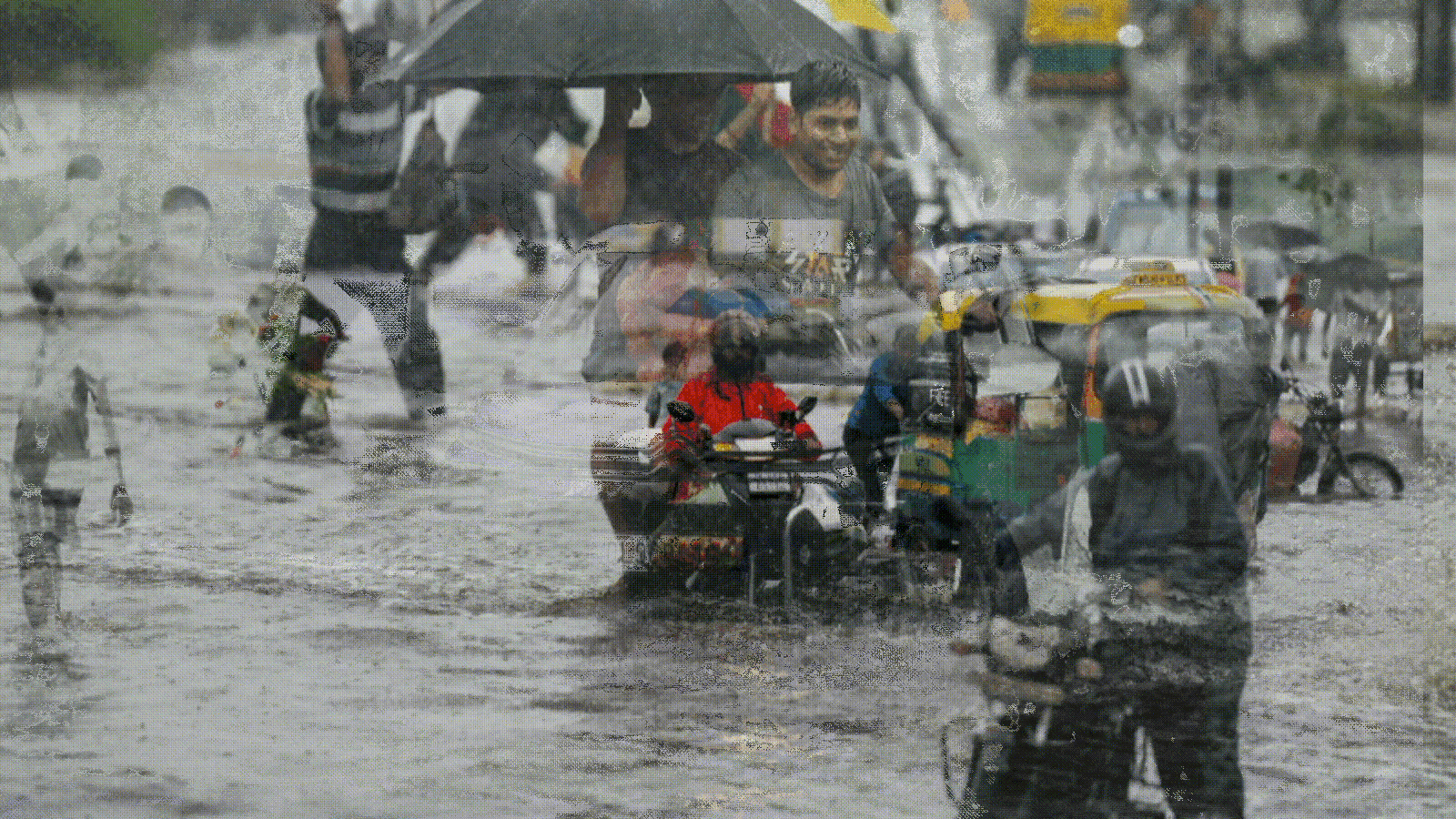
In the 24 hours up to 8.30 am on Thursday, the IMD said extremely heavy rainfall (≥21 cm) was recorded over Uttarakhand, western Uttar Pradesh, Madhya Maharashtra and Meghalaya. Meanwhile, very heavy rainfall (12-20 cm) was recorded over the sub-Himalayan region, West Bengal, Tamil Nadu, Konkan region and Tripura. Parts of the capital also witnessed heavy rains, submerging the city and congesting traffic.
Skymet vice president Mahesh Palawat said the monsoon trough is rapidly moving towards the foothills. “We may see some good rains over northwest India on July 10, but after that, the low will be in the foothills and the low pressure area will also weaken. Dry and northwesterly winds will return to westerly and temperatures will gradually start rising over central and northwest India from July 11 onwards,” he added.